SatLat: Precision Geospatial Solutions for Informed Action
From data collection and geoscience research to mapping, consultancy, and training, we transform Earth information into intelligence for decision-makers.
Who We Are
SatLat is a geoscience and geospatial solutions company dedicated to transforming Earth data into actionable information to address environmental and socio-economic challenges. We bridge the gap between space-based data and ground-level decisions.
We combine expertise in Earth Observation (EO), satellite imagery, geoscience research, web programming, mapping, hydrography, and surveying with a strong focus on capacity development and consultancy.
Our Mission
To empower organizations and communities with precision and customized geospatial solutions, geoscience research, and capacity development to turn data and local knowledge into meaningful action for a sustainable future.
Our Vision
To be a global leader in Earth observation, geoscience, and geospatial services, making satellite and mapping technologies accessible, impactful, and transformative across industries worldwide.
Our Services
End-to-end geospatial and geoscience services, from data capture to decision support.
Data Collection
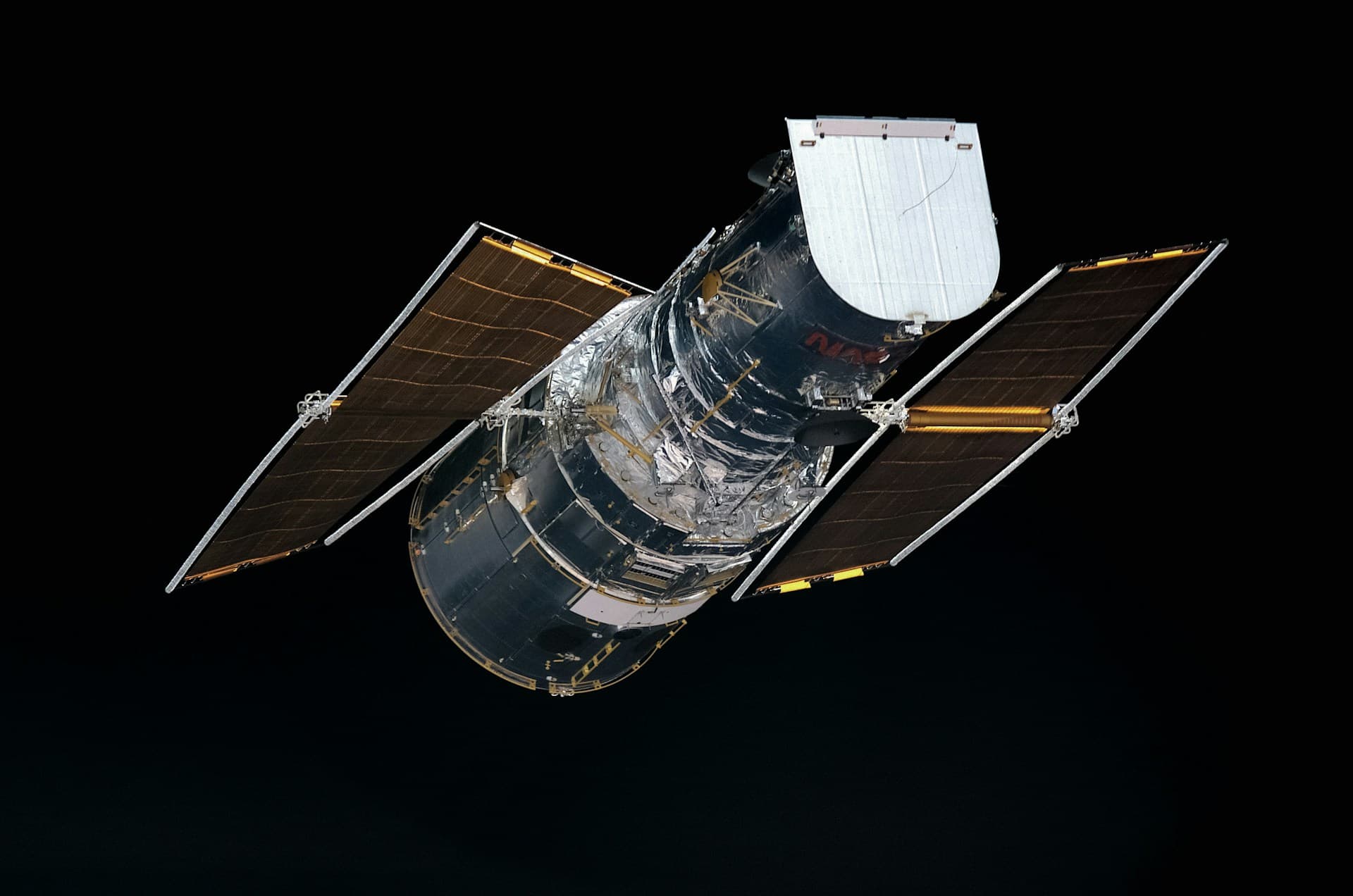
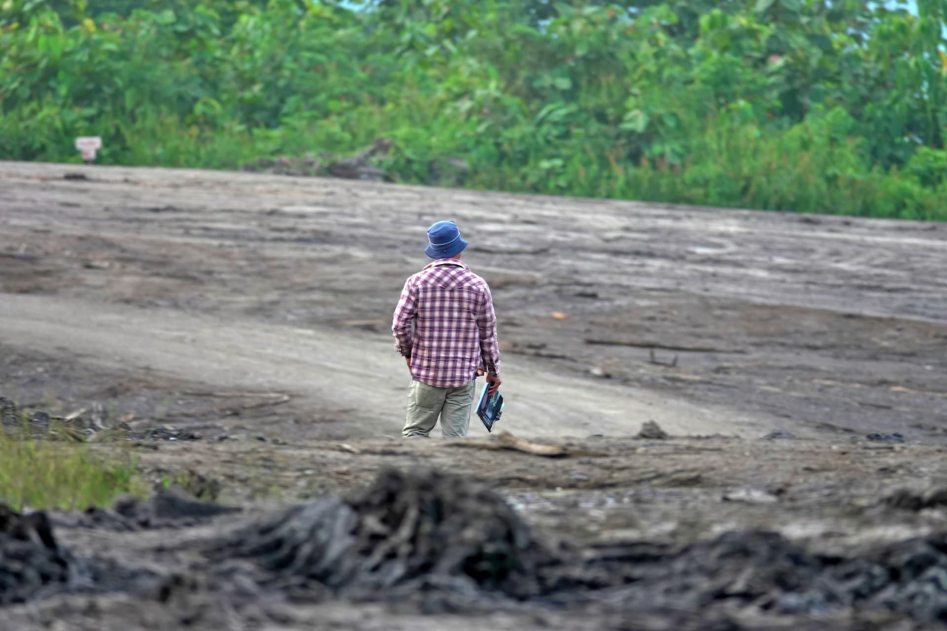
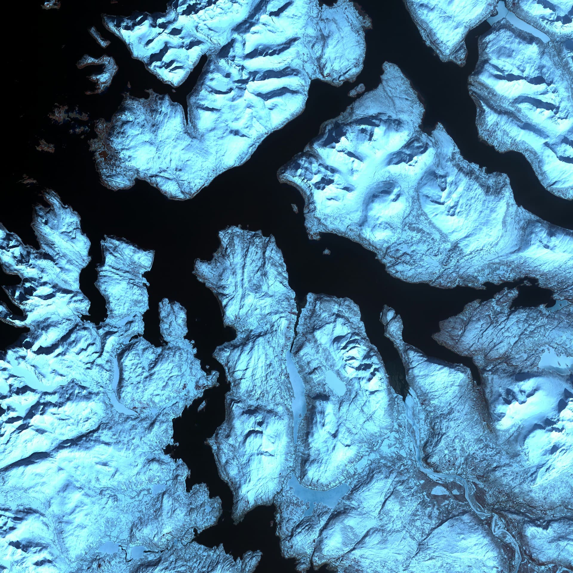
Satellite imagery, UAV mapping, ground surveys, and hydrographic data collection for accurate environmental and resource insights.
Geoscience & EO Research
Environmental and economic assessments, geological and hydrological studies, and land-use change detection powered by EO data.

Remote Sensing & Geospatial Intelligence
Advanced analytics, change detection, and decision-support tools using Earth Observation and AI-driven geospatial intelligence.
Why SatLat
At SatLat, we combine expertise in geospatial technology, Earth observation, and capacity development to provide precise and actionable solutions for governments, businesses, communities, and NGOs.
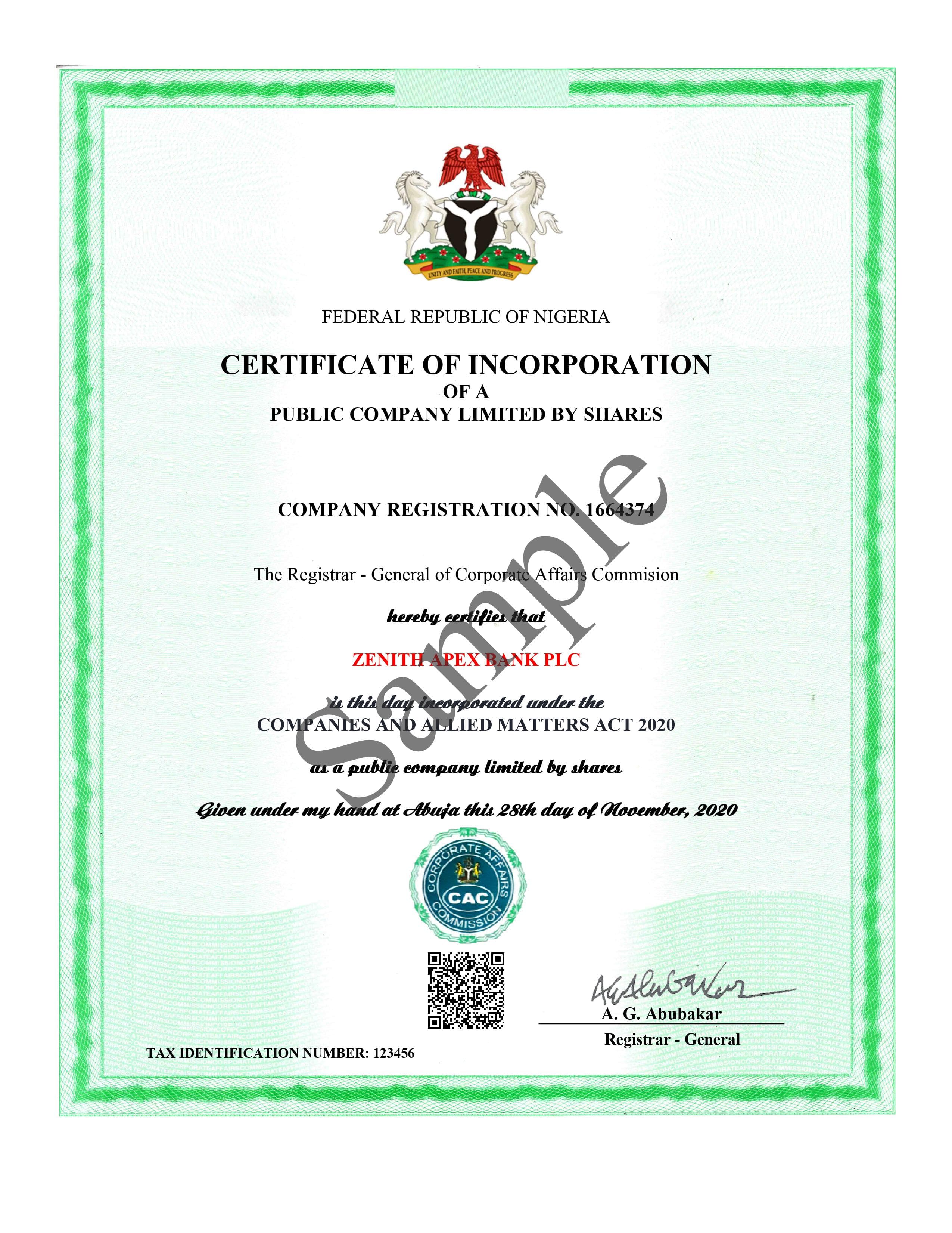
Trusted & Certified
SatLat is officially registered and compliant with regulatory standards, ensuring reliable and trustworthy geospatial solutions for governments, businesses, and communities.
Our current certification includes registration with the Corporate Affairs Commission (CAC) in Nigeria.
Ready to Transform Your Geospatial Data into Actionable Insights?
Contact SatLat today to discuss how our expertise in Earth Observation, mapping, and consultancy can empower your organization for smarter decision-making.